1st Istambul Design Biennial
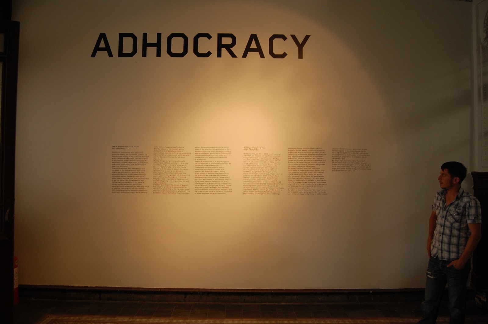
Adhocracy - The Archaeology of Now 2012
Adhocracy - The Archaeology of Now 2012


Given that the Adhocracy exhibition is hosted at Galata “Rum” (Greek) School, the “Archaeology of Now” project is presenting parts of an archive and of an ongoing research, analysing the spatial organisation of the “Rum” communities in Istanbul, and particularly of the schools. From 1996, a research project by the University of Athens was registering the archives of the “Rum” communities in Istanbul. However, this project did not include any form of spatial documentation of the life of these communities. As a result, the presented research project titled “Spatial documentation of the “Rum” community in Istanbul: Urban, Architectural and Photographical survey” was initiated and focused on the places where community life was situated; places that form as an integral part of the distinctive history of Istanbul and of its contemporary urban fabric.This research was initiated by Professor Annie Vrychea (School of Architecture, NTUA), in collaboration with the Departement of Methodology, History and Theory of Science (University of Athens).
Up to 2003 it was a research project of the NTUA. In 2004 Latsis Foundation funded K. Polychroniadi, K. Dimou, S. Nasainas, S. Istudor and D. Theodoropoulos, for the digital design of part of the survey. For this exhibition, the research team collaborated with photographer G. Makkas. We thank the Greek Communities of Kurtulus and Langa, the director of Zofragyon School Y. Demircioglu and K .Dimou, G. Petridis and K. Nikolaidis for sharing their archives.
Galata “Rum” SchoolThe school was built at the heart of a commercial, financial and cultural centre of Istanbul, next to significant buildings and among several Orthodox churches. It operated until 2007, albeit non-continuously. During the last year the conversion of the school into a cultural centre is in progress, thus completing another part of Galata’s cultural zone.

Galata Rum School - Galata Rum Ilkokulu - Σχολή Γαλατά:
https://vimeo.com/50469804
Already by the end of the 19th century, the numerous Greek population of Istanbul had started to get organised in local communities based on parishes. Besides the churches, these communities also managed the education and, in general, the social and cultural life of Greeks. Each community had its own cultural and charitable associations. These activities utilised, and some still do, community buildings. Despite the population decline of Greek communities, their buildings continue to be part of the architectural wealth of contemporary Istanbul; nowadays seeking new uses. From 1997 onwards, an archive of spatial documentation started to be developed, consisting of collections of old photographs and plans (this kind of material has been widely lost or destroyed nowadays), maps, and also photographical, architectural and urban surveys. These surveys are not limited to significant architectural works but also include every element of the built environment that is part of the organisation of communities. Moreover, the research project studies the spatial relations among buildings and their uses in the city’s urban fabric, and specifically at the neighbourhood level. From 1998 to 2005 the research project focused on educational spaces, mapping their architecture, their details, their equipment and also their uses and how they evolved over time. The archive that was created, and is still being completed, consists of a mosaic of images, plans, sketches and other documentation. Yet, today, these images can be considered history. Although the buildings are still part of the city, their uses have changed or have been terminated. As a result, the research material is part of an “archaeology of now”. A new present needs to be studied. How do these spaces function today? How do these spaces and these communities participate in the life of the city? Although the element of absence is strong, their presence in the city remains.Most Greek schools in Istanbul are part of a spatial complex. Two kinds of spatial organisation can be observed: Closed spatial complexes that are restricted within a walled yard together with the church and the community offices and that are usually not visible from the street. This is the case of Langa and, ‘open’ spatial complexes where the community buildings are concentrated at a – usually central – part of the neighbourhood. This is the case of Kurtulus. The internal organisation of the complexes and their relationship with the built environment around them, illustrates the mode of spatial organisation of each community. Zografyon, a city-wide still functioning school, is part of a network of Greek buildings at the heart of Beyoglu.
Langa
Langa was one of the most significant Greek communities of the historical peninsula, along with nearby Kumkapi and Samatia. Nowadays, although the built environment hasn’t changed that much, the population of the neighbourhood has changed significantly and the neighbourhood has become a commercial area. The Greek community there has few members left and, together with the nearby communities ,they function as “communicating vessels”. From the street level, it is difficult to acknowledge the large spatial complex consisting of the church, the school and the other community buildings. The school operates with only 6 pupils and this could well be its final year. As the school’s teacher describes, the complex’s gate separates two different worlds.
 News from Laga:
https://www.youtube.com/watch?v=g3nb8_-jTWk&feature=youtu.be
KurtuluŞ
Tatavla (Kurtulus’ previous name) was for many years an entirely Orthodox neighbourhood and one of the wealthiest and demographically larger Greek orthodox parishes of Istanbul. At the top of the hill and at the beginning of the “straight road” lies the open spatial complex of the community. The Greek cemetery is also nearby, while already from the mid-19th century new churches and schools were built at the neighbourhood’s fringes to cater the needs of the growing community. However, for the elders “the neighbourhood has seized to exist. The wooden houses have been replaced by blocks of flats”. The school, which in the past had more than 500 pupils, stopped operating in 2003. Despite its few members, the community remains active and often organises events at its spaces.

From Tatavla to Kurtulus - Tatavla’dan Kurtuluş’a - Από τα Ταταύλα στο Κουρτουλούς:
https://vimeo.com/50555050
Zografyon School is located at the heart of Beyoglu and of Istanbul’s most significant Greek community. It hasn’t stopped operating as a high school for the whole city since 1893, and it is housed in a neoclassical building that follows the monumental architecture of the area. It is part of the network of Greek buildings at the broader area of Beyoglu, which includes churches, schools and community spaces for various associations and it adds to the multicultural image of early 19th century Istiklal road.

(click here) 1st design biennial Istanbul-the catalogue
1st Istanbul Design Biennial, IKSV
Participation: the Archaeology of Now
K. Dimou, K.Polychroniadi, S.Nassenas, S. Istudor photos: G.Makkas
Istanbul, october-december 2012
1st Istanbul Design Biennial, IKSV
Participation: the Archaeology of Now
K. Dimou, K.Polychroniadi, S.Nassenas, S. Istudor photos: G.Makkas
Istanbul, october-december 2012